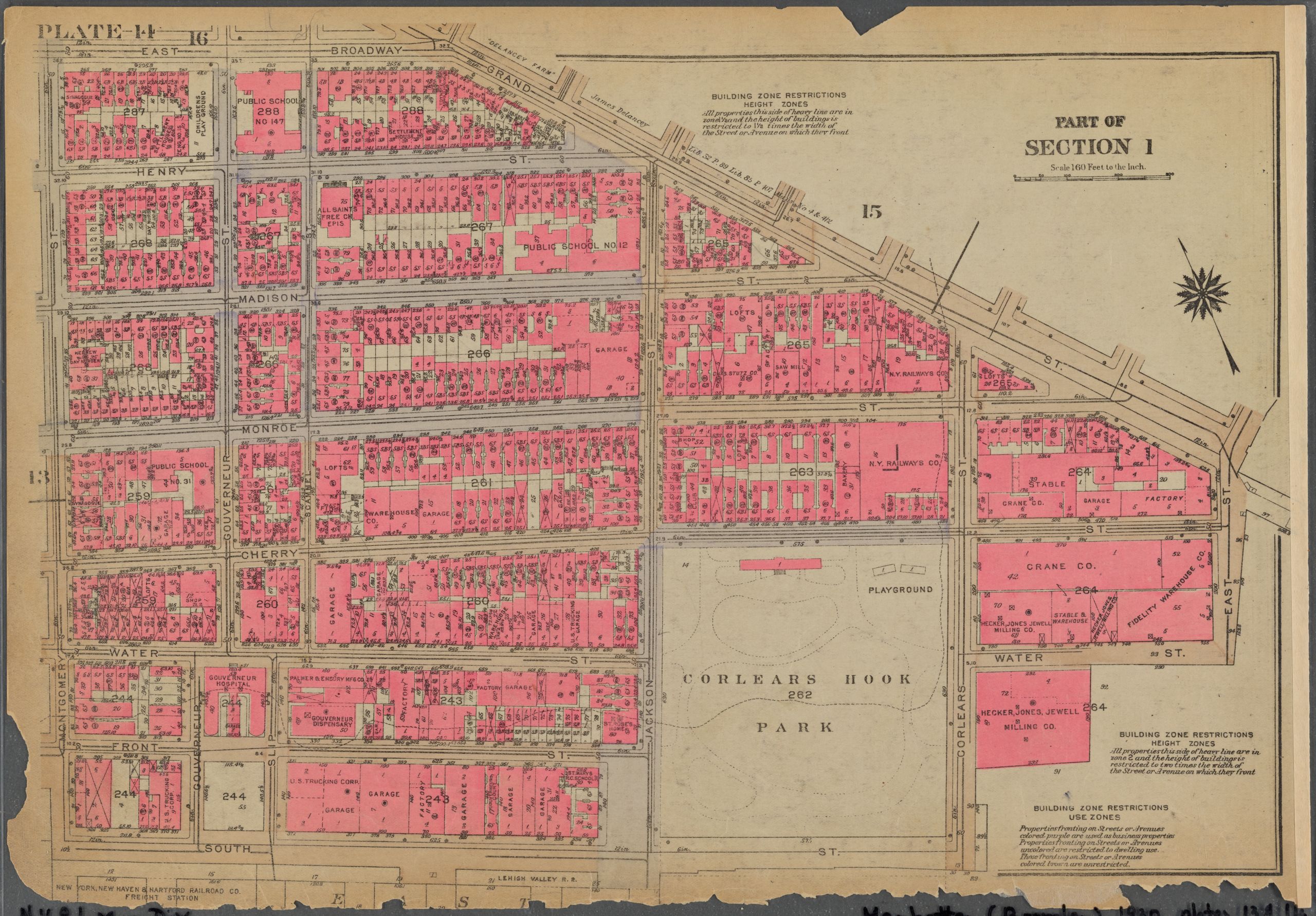
This 1930 Bromley Real Estate Atlas map shows that the 265 Henry Street Settlement had expanded into building 267, nestled among a mix of brick residential buildings and shops or stores, with a children's playground on the east side of the block and a synagogue on the northwestern side. Block 287 on all four sides was surrounded by four streets: East Broadway to the north and Henry Street to the south, each sixty feet wide, and Montgomery Street to the west and Gouverneur Street to the east, each fifty feet wide. To the east, block 288 held a large public school, with a large shop and another settlement house down the road. | Creator: G.W. Bromley & Co. | Date: 1930 | Source: New York Public Library Digital Collections | Rights: The New York Public Library believes that this item is in the public domain under the laws of the United StatesDownload Original File
The New York Public Library believes that this item is in the public domain under the laws of the United States
"Plate 14, Part of Section 1: [Bounded by East Broadway, Grand Street, East Street, Water Street, Corlears Street, South Street and Montgomery Street]" appears in: Henry Street Settlement (Main House)