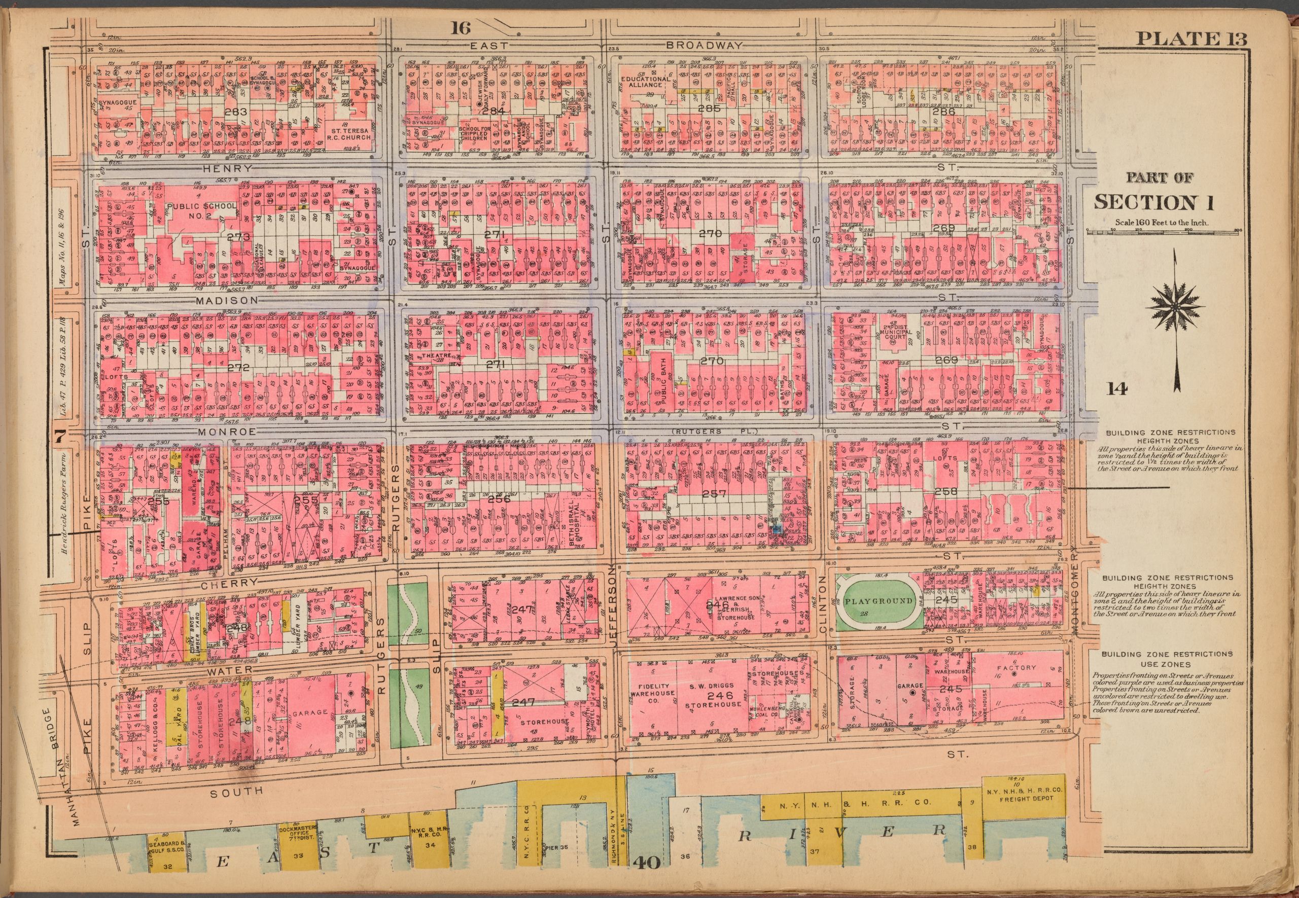
A 1923 Bromley fire insurance map of Plate 16 of the Lower East Side. Along East Broadway on Block 285 stands the Education Alliance, occupying a large corner of the block between Jefferson Street and Clinton Street. The surrounding buildings appear in two shades of pink, indicating a mixture of stone-and-brick residential and store buildings on the block. Immediately west of block 285 are the School for Crippled Children, the Jewish Daily Forward, and several synagogue organizational buildings, illustrating the neighborhood's dense mix of educational, religious, residential, and commercial institutions. | Creator: G.W. Bromley & Co. | Date: 1923 | Source: New York Library Digital Collections | Rights: Public RecordsDownload Original File